maps
Martenet's Map of Howard County
Atlas of Fifteen Miles Around Baltimore Including Howard Co, Maryland
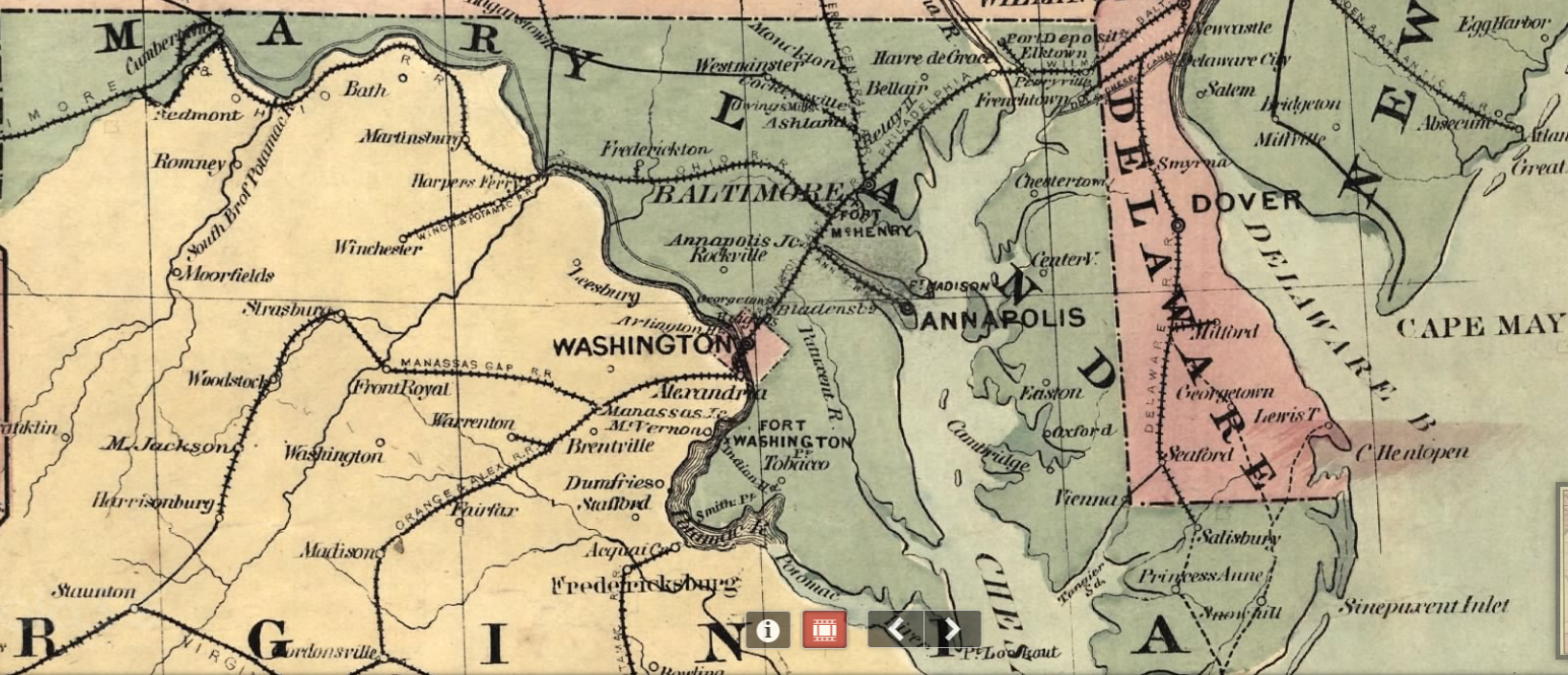
The new war map of Maryland, part of Virginia & Pennsylvania Mayer & Co's., lith., Boston.
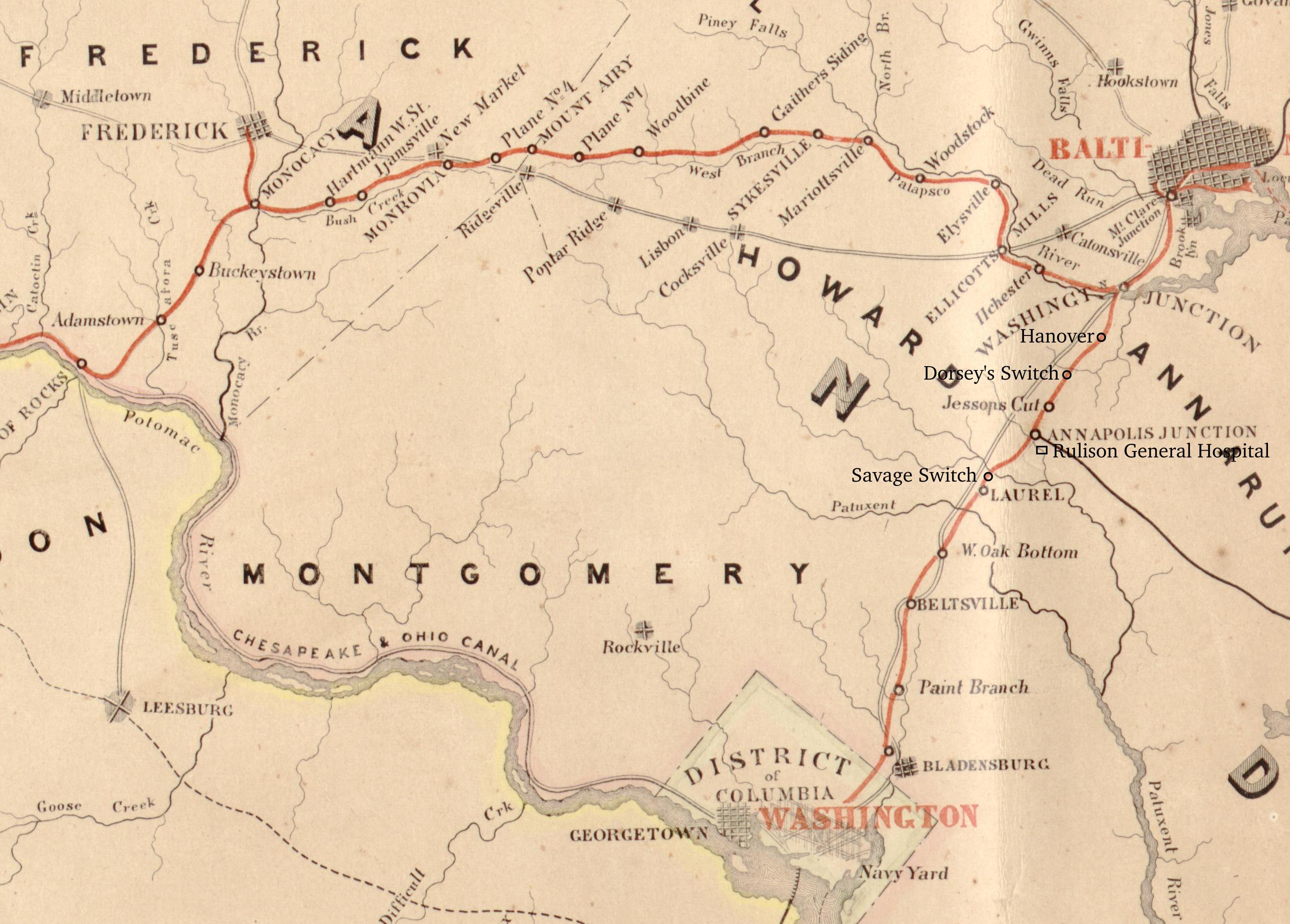
Map and Profiles Showing the Baltimore and Ohio Rail Road…Hunckel and Sons, 1858
caption
caption
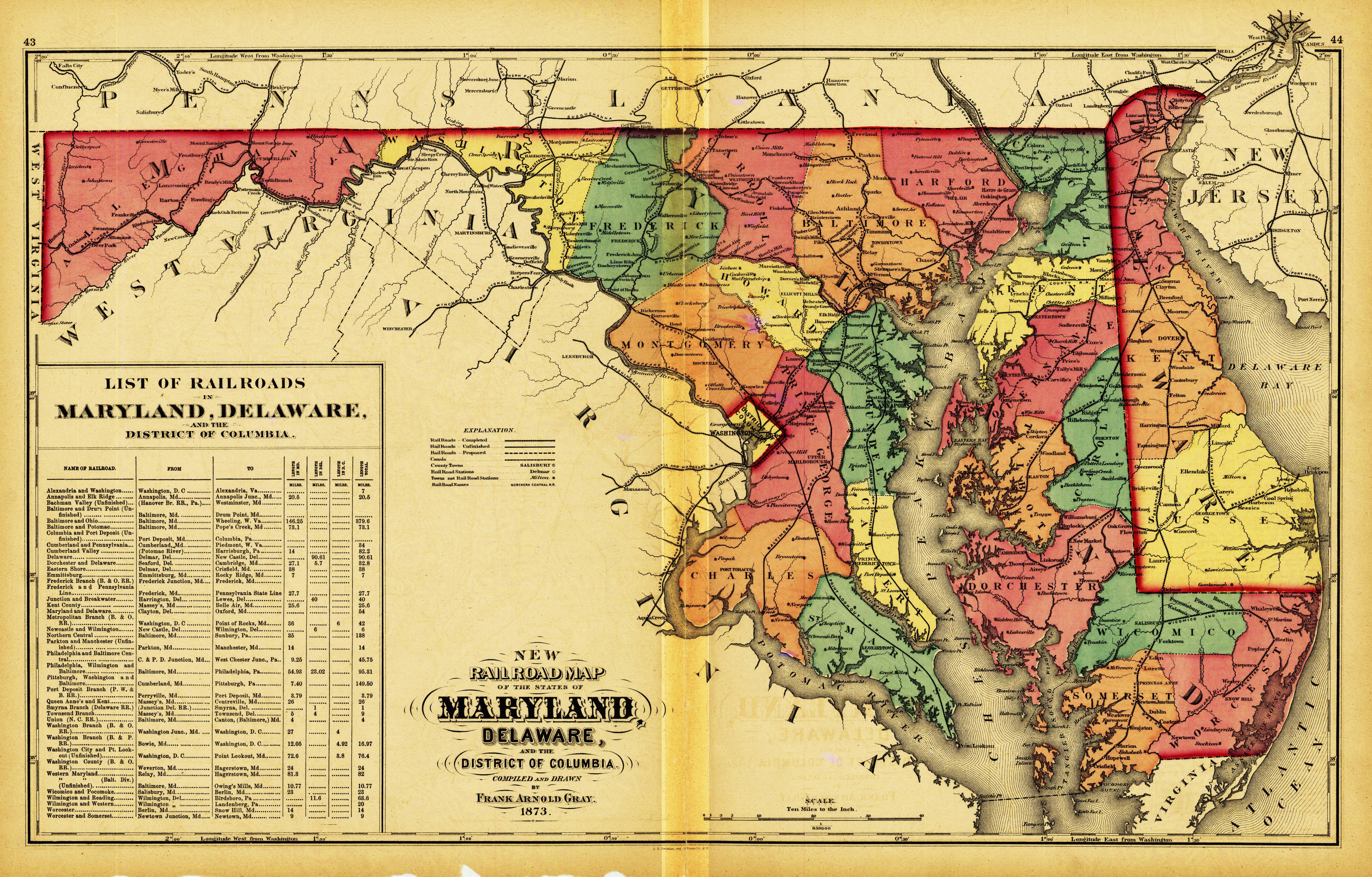
gray_railroad_map_1873
maps.txt · Last modified: by 127.0.0.1


